Containing over 140 miles of streams, our Woolper Creek Watershed drains 33 square miles of Boone County into the Ohio River.
Our Watershed Plan outlines conservation efforts to improve water quality and natural habitat throughout the basin.
Read the full report here.
Background
Although large forested landscapes remain in the lower portion of the watershed, the headwaters* have been stressed by substantial amounts of urbanization. As of 2014, several sections of streams within the watershed are listed on the Kentucky Division of Water's (KDOW) 303(d) List for Impaired Waters. The impairments listed are mainly high levels of sediment, bacteria, and nutrients. High levels of sediment, or siltation, clouds up the water and blocks the sunlight coming through. This can easily disrupt the process of photosynthesis and restrict the amount of oxygen in the water. Bacteria, like E. coli, elevated in streams can affect human health. High levels of nutrients may sound like a good thing, right? Wrong. Too much of one nutrient can put the whole system out of whack. Take nitrogen, for example, and increase the levels of agricultural pesticide going into a stream. Because specific plants and animals feed off of this nitrogen, it can cause an overstimulation of growth. An example of this is a harmful algal bloom (HAB).
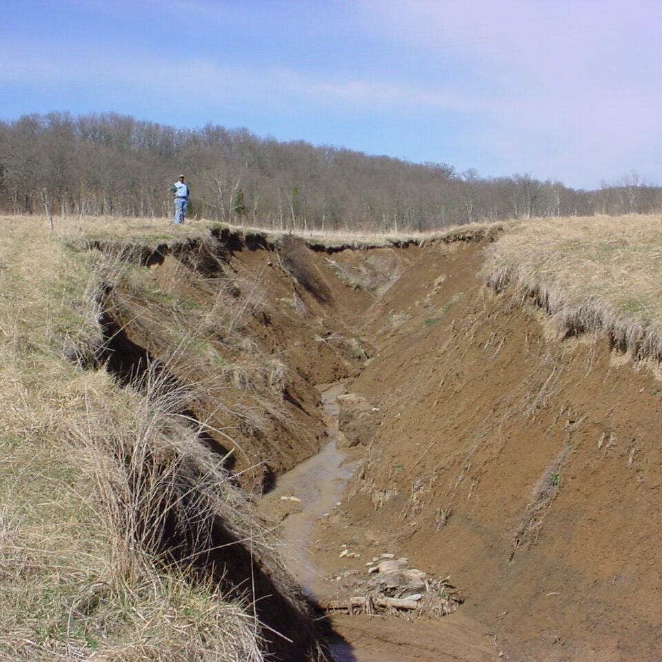
The goal of this project was to better understand the extent, severity, and causes of impairments in order to identify the most sensible ways to restore the health our our community's streams. Along the way, we learned that excess stormwater runoff generated from impervious surfaces* were a huge contributor to the impairments in Woolper Creek Watershed. This caused water quality concerns, increased stormbank erosion, and degraded biological communities that depended on the resource.
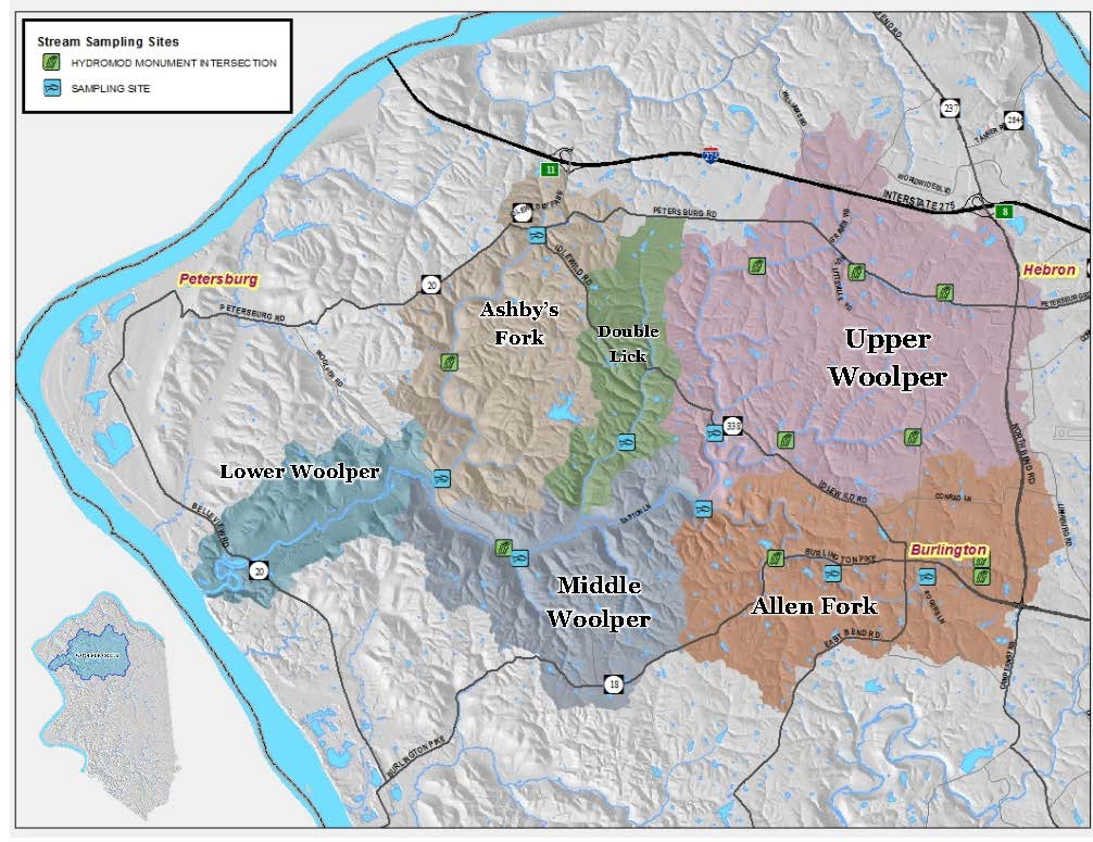
A Clean Water Act Section 319(h) grant was received to help BCCDKY form the Woolper Creek Watershed Initiative (WCWI) to better focus on improving and protecting the Woolper Creek Watershed.
Why does this matter?
Over the last 65+ years, the population in Boone County has increased tremendously. Boone County has the second highest population growth rank in all of Kentucky, according to the 2009 Census. In 2016, we had an estimate of 128,536 people living in Boone County. Throughout the Woolper Creek Watershed, the land use is around 20% residential, 43% is open space/forested, 32% is agricultural area, and 5% is commercial, industrial, public, and/or transportation. Most of this development lies within the headwaters of the watershed.

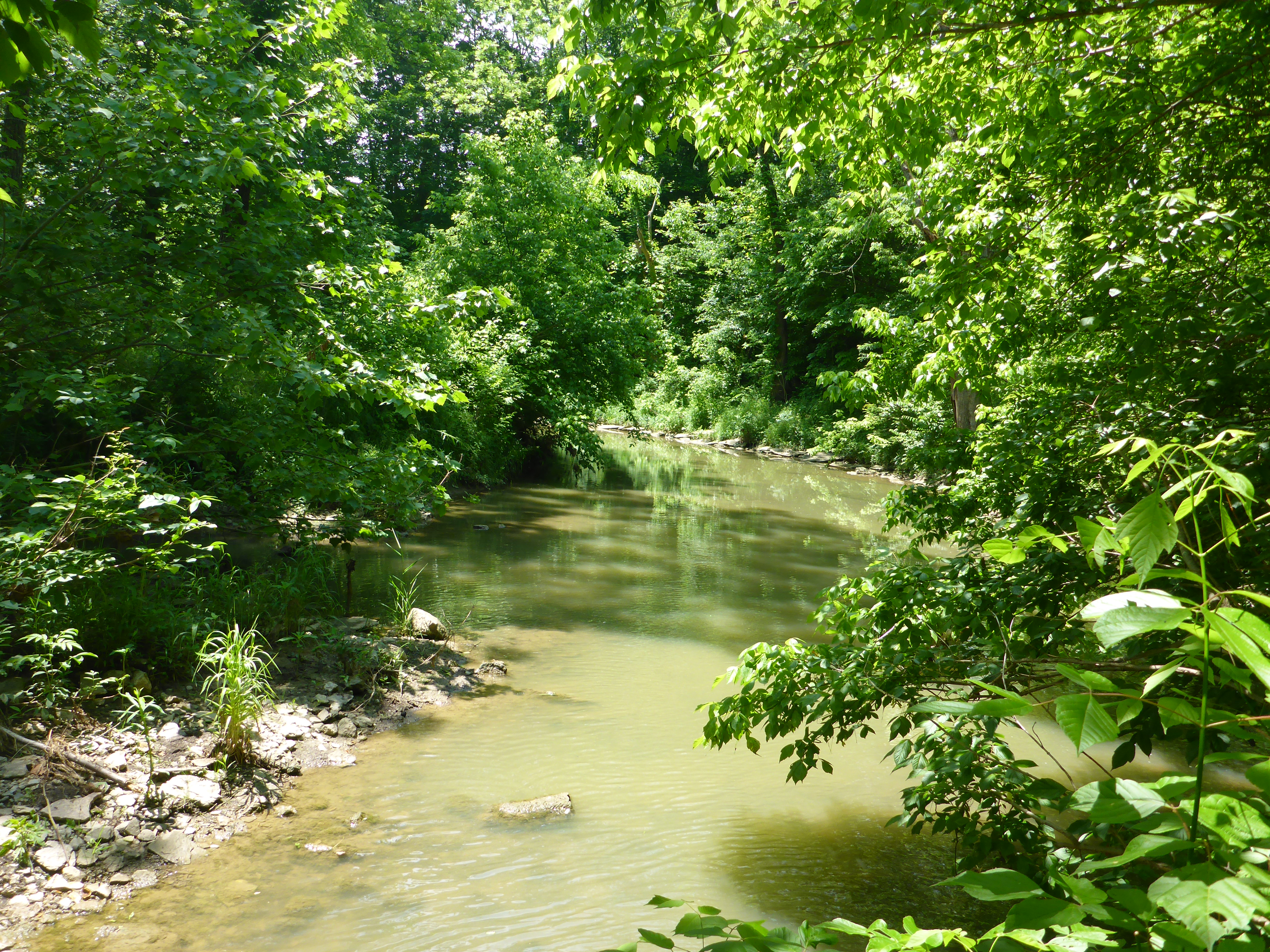
Beyond the negative, the Woolper Creek Watershed has several unique characteristics that should be preserved, including: Double Lick Creek's high-quality reference stream, Split Rock, and other picturesque areas.
Monitoring & Results
Several years of stream monitoring has been conducted to better understand the conditions and rates of degradation in the Woolper Creek Watershed. This was done in two phases: (1) 2006-2011 by Sanitation District No. 1 (SD1) and (2) 2012-2013 by WCWI. The monitoring components included:
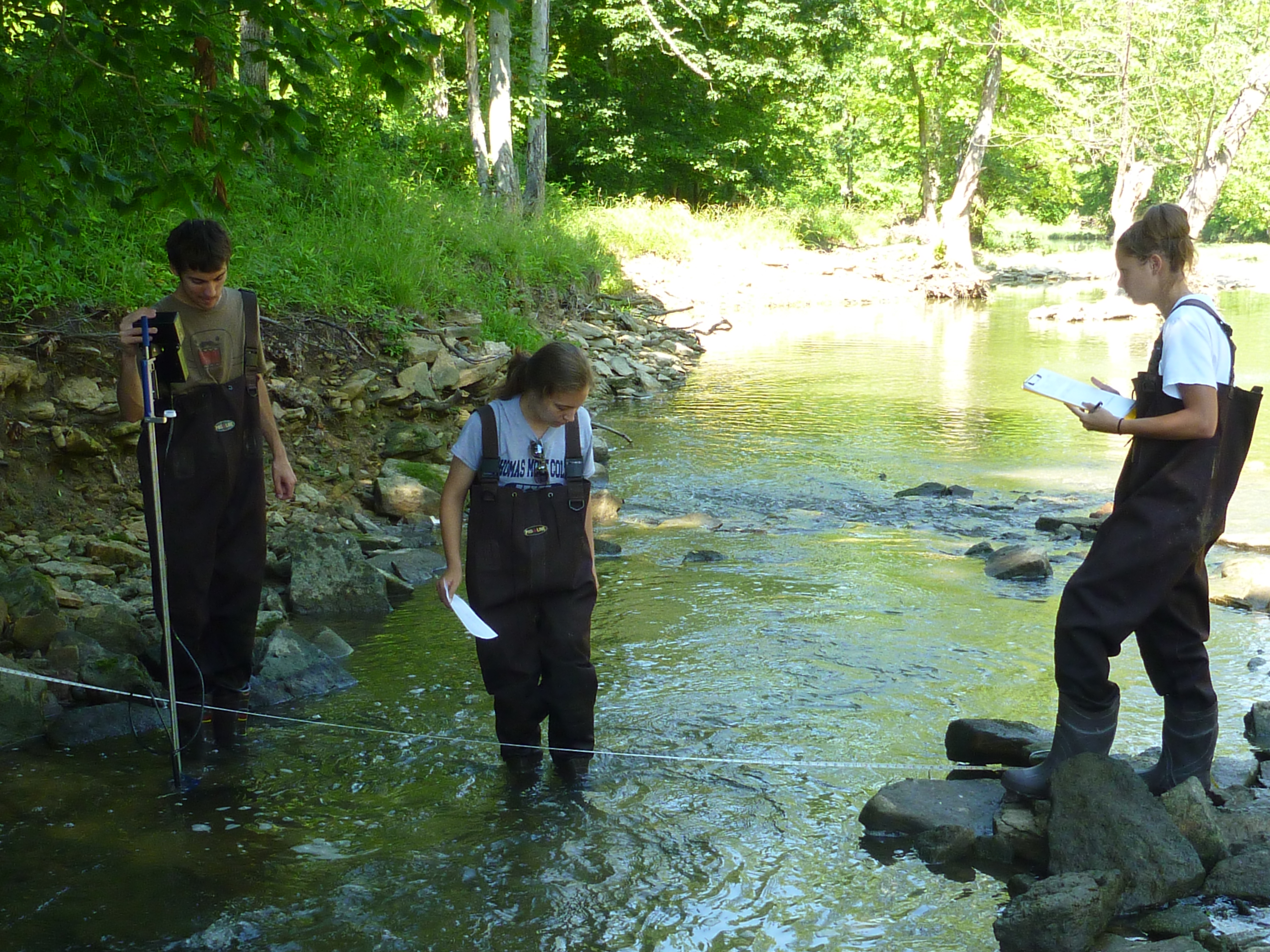
- Stream flow monitoring: measures velocity, depth, and flow data from USGS gauges at Woolper Road and Middle Woolper Creek.
- Geomorphic surveys: pebble count surveys of the distribution of rocks in streambeds and measurements of stream geometry designed to measure the rates of erosion.
- Habitat assessments: evaluations of stream habitat elements, such as the frequency of fast-flowing riffle* habitats, amount of sediment, and the quality of riparian vegetation adjacent to the streambank.
- Water quality samples: field and laboratory measurements for parameters, such as: bacteria, nutrients, pH, temperature, and sediment.
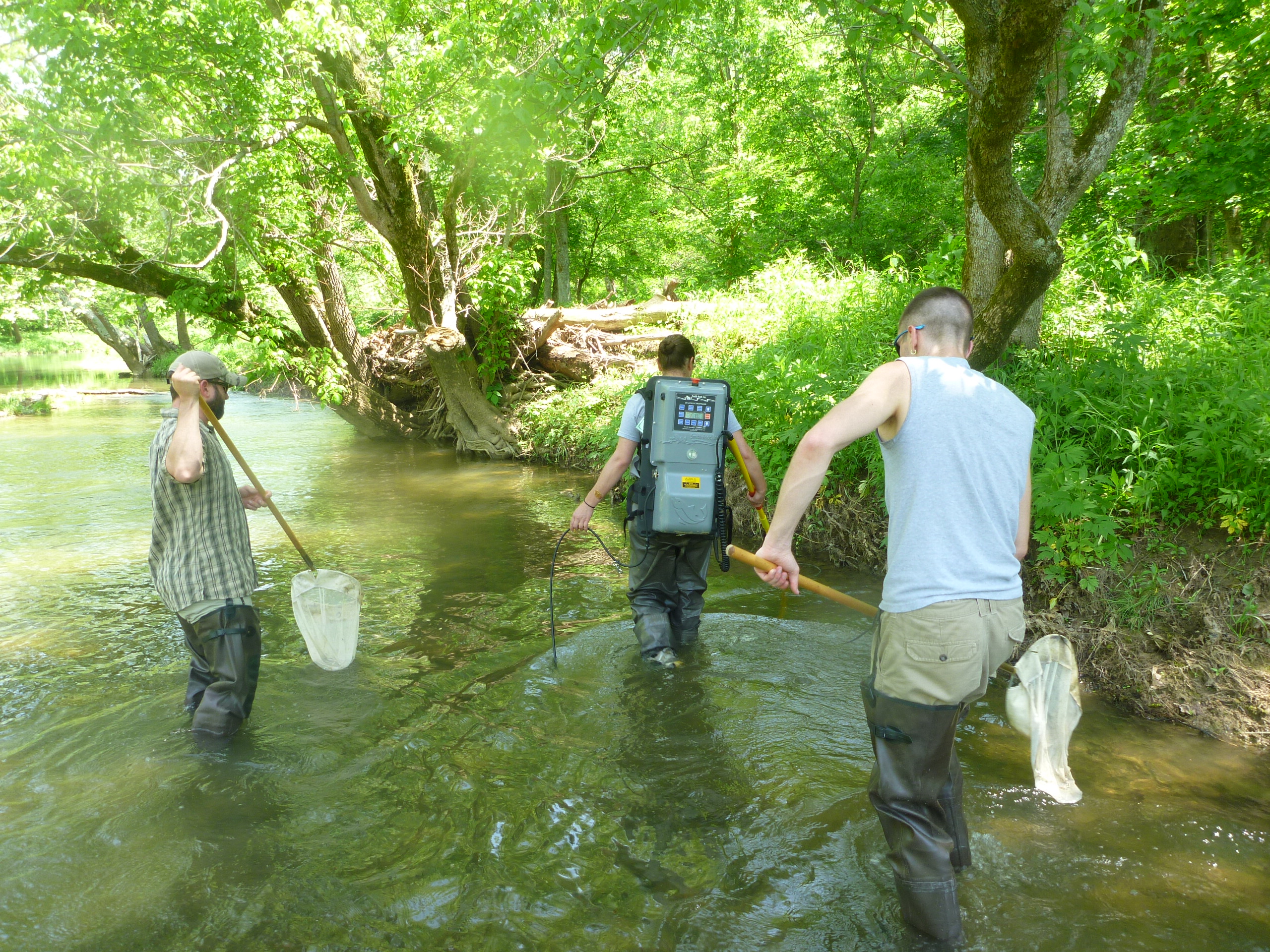
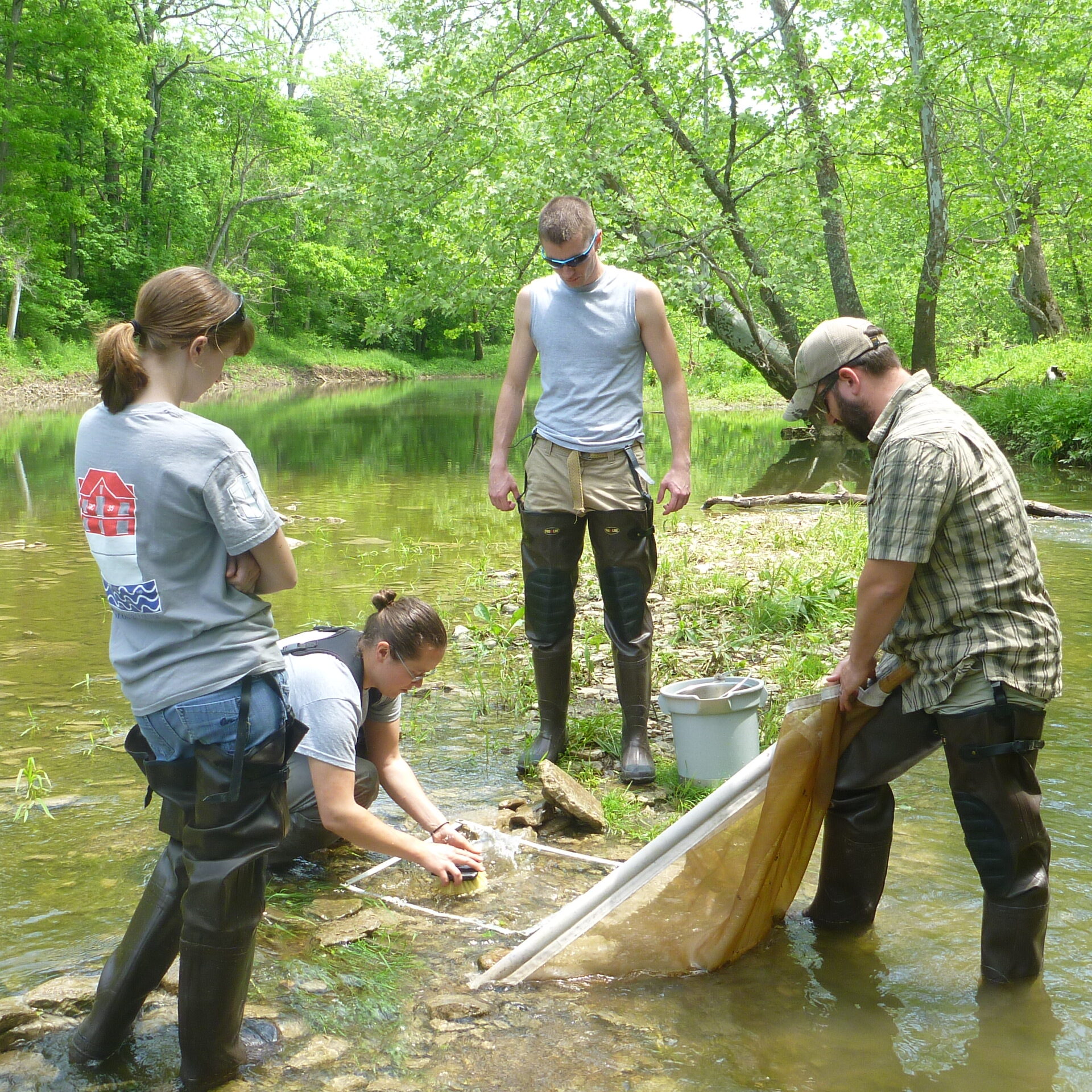
- Biological assessments: sampling of fish and aquatic macroinvertebrates* to quantify the diversity of the biologic community.
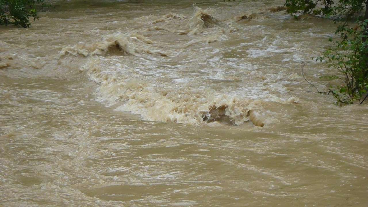
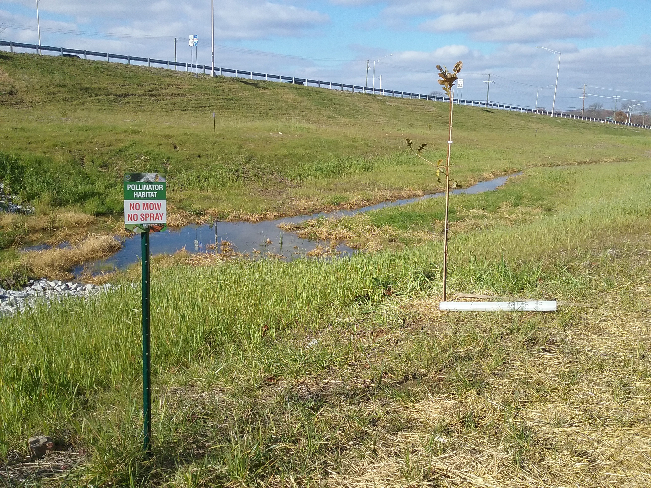
Stream flow monitoring results were compared between the developed site of Allen Fork Creek and the undeveloped site of Double Lick Creek. In significant rainfall events, the water in Allen Fork was about twice the depth of the water in Double Lick. Additionally, the flows were quicker to change and become more "flashy" at Allen Fork. This can cause erosion, degrade water quality, and increase flooding risks.
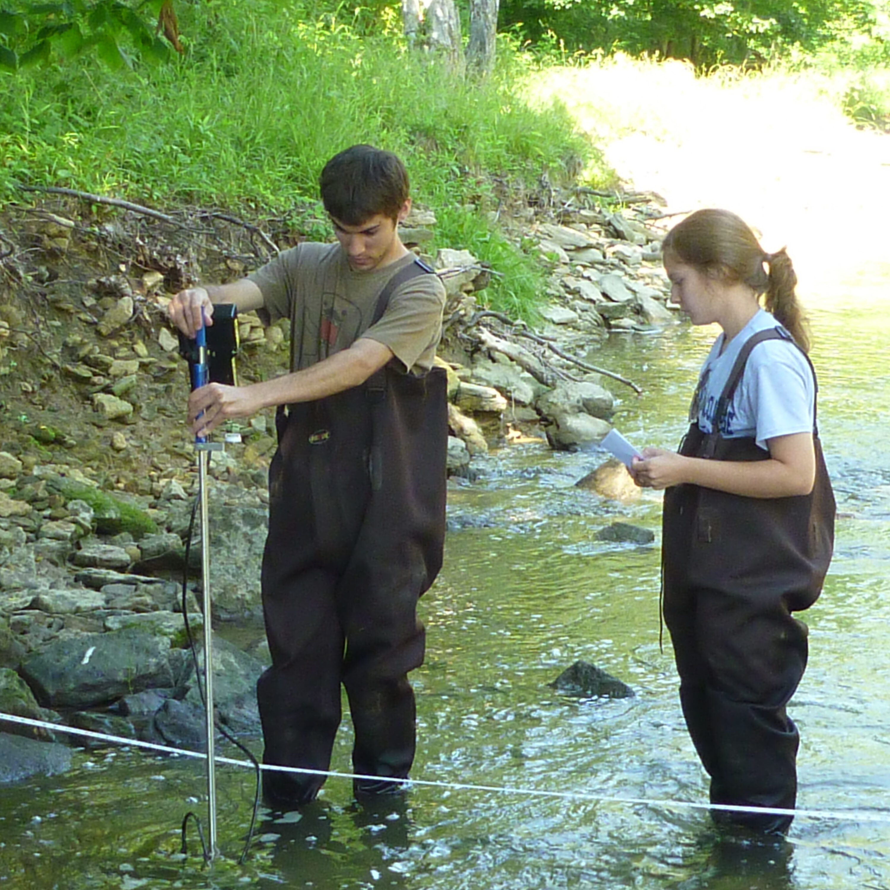
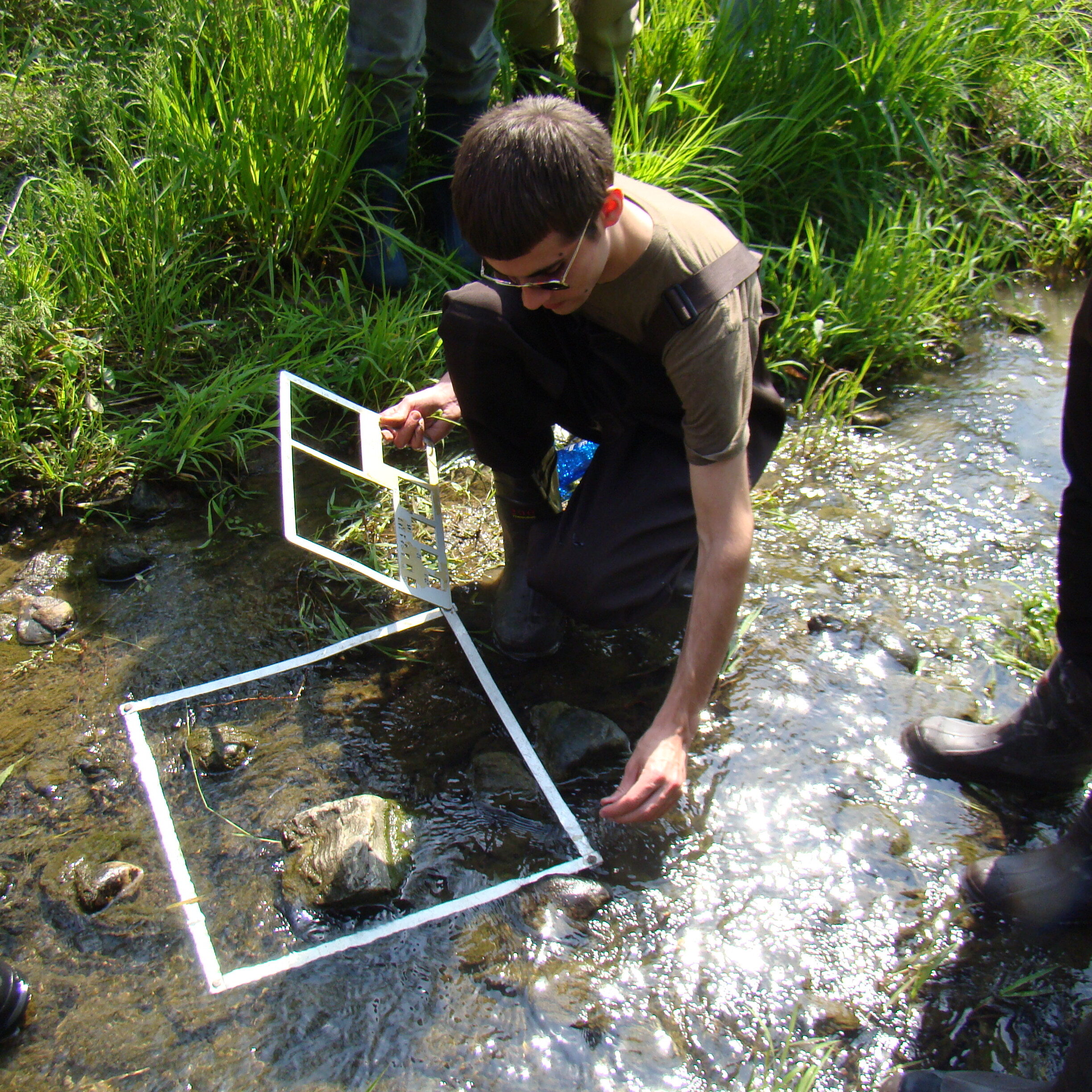
Geomorphic survey results showed that in the developed areas, that are experiencing higher flows and increased flooding potential, the streambeds were eroding at a substantially greater pace than the undeveloped streambeds. The developed areas showed pebble sizes up to 100-200% during Phase 2. This means the high flows they experience during rainfall events are literally picking up the rocks and pebbles on the streambed and moving them downstream, leaving only the larger rocks behind.
Habitat assessment results correlated with the geomorphic survey results - the better the geomorphic conditions, the better the habitat. For example, the monitoring site WPC 12.3 in Upper Woolper Creek Subwatershed (27.3% impervious surfaces) was one of the most unstable sites and had a habitat score of 103 - poor. The monitoring site WPC 6.2 - DLC 1.0 in Double Lick Creek Subwatershed (3.1% impervious surfaces) was the most stable and had a habitat score of 156 - good. Stable streambanks and streambeds provide more desirable aquatic habitat for the macroinvertebrates that live on the rocks and pebbles. These serve as an important component of the aquatic food chain for insect-eating fish.
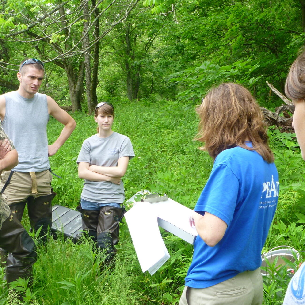
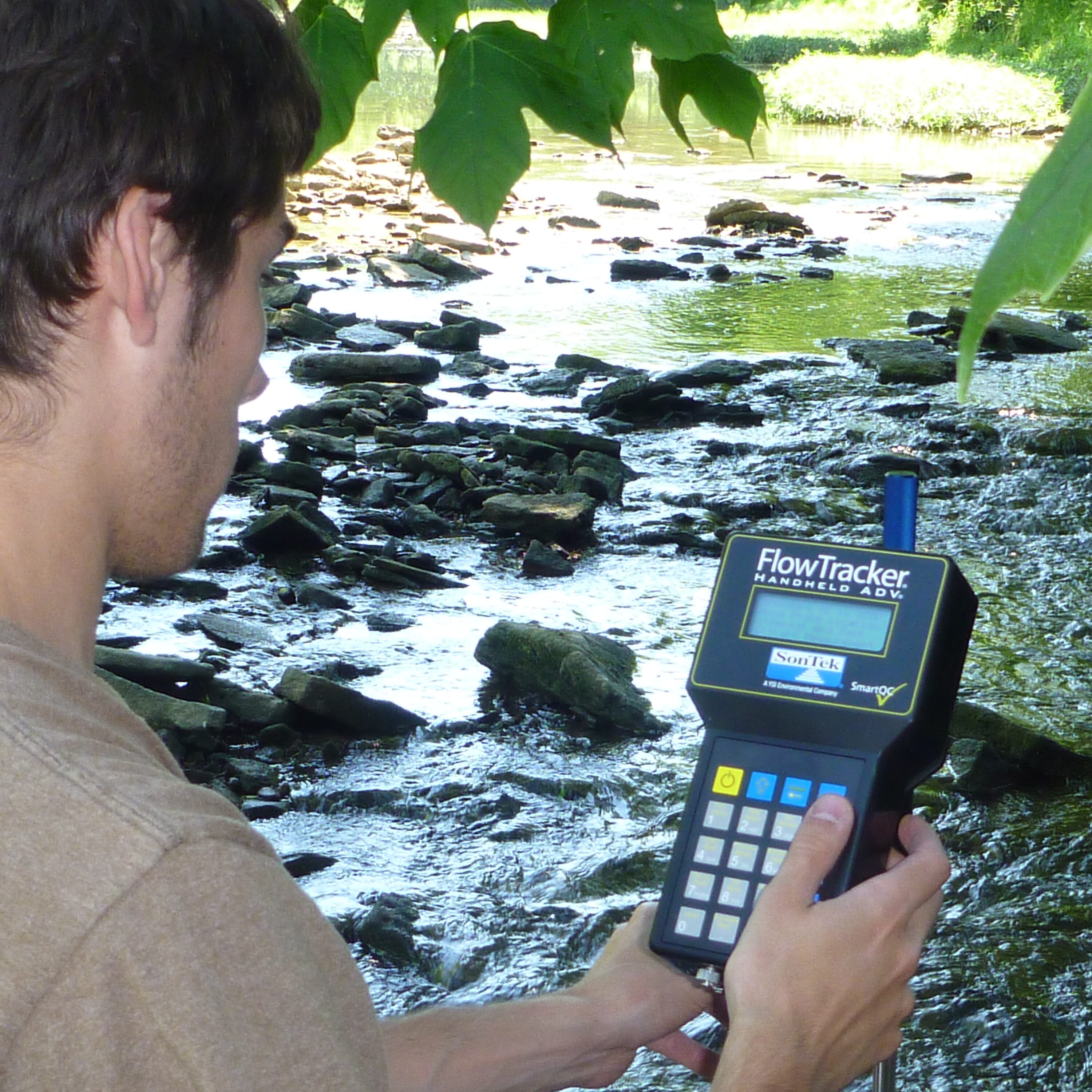
Water quality sample results compared between wet and dry weather monitoring to determine if the pollutants are being carried to the stream through stormwater runoff during rain events or if pollutants are already present during dry conditions. A total of ten sites were evaluated, but only two sites showed potential water quality concerns - UT ALF 0.2 in Allen Fork Creek Subwatershed and WPC 12.3 in Upper Woolper Creek Subwatershed. These results displayed unusually high levels of nutrients at UT ALF 0.2, possibly from agricultural fertilizing, and high levels of E. coli at WPC 12.3, possibly due to inadequate stormwater management.
Biological assessment results were rated using a Macroinvertebrate Biotic Index (MBI), and for the most part, were scored as either fair or good. Based on the MBI and neighboring Gunpowder Creek Watershed, it is determined that Woolper Creek Watershed is in only the early stages of degradation. Looking deeper, the sites with a 'fair' score (the lower score) were the most developed sites with the most unstable streambeds. This suggests that by investing in cost-effective stormwater management strategies - such as detention basins, wetlands, bioswales, etc. - to throttle back the erosive nature of our urban stormwater runoff, we can restore more natural rates of streambed erosion.
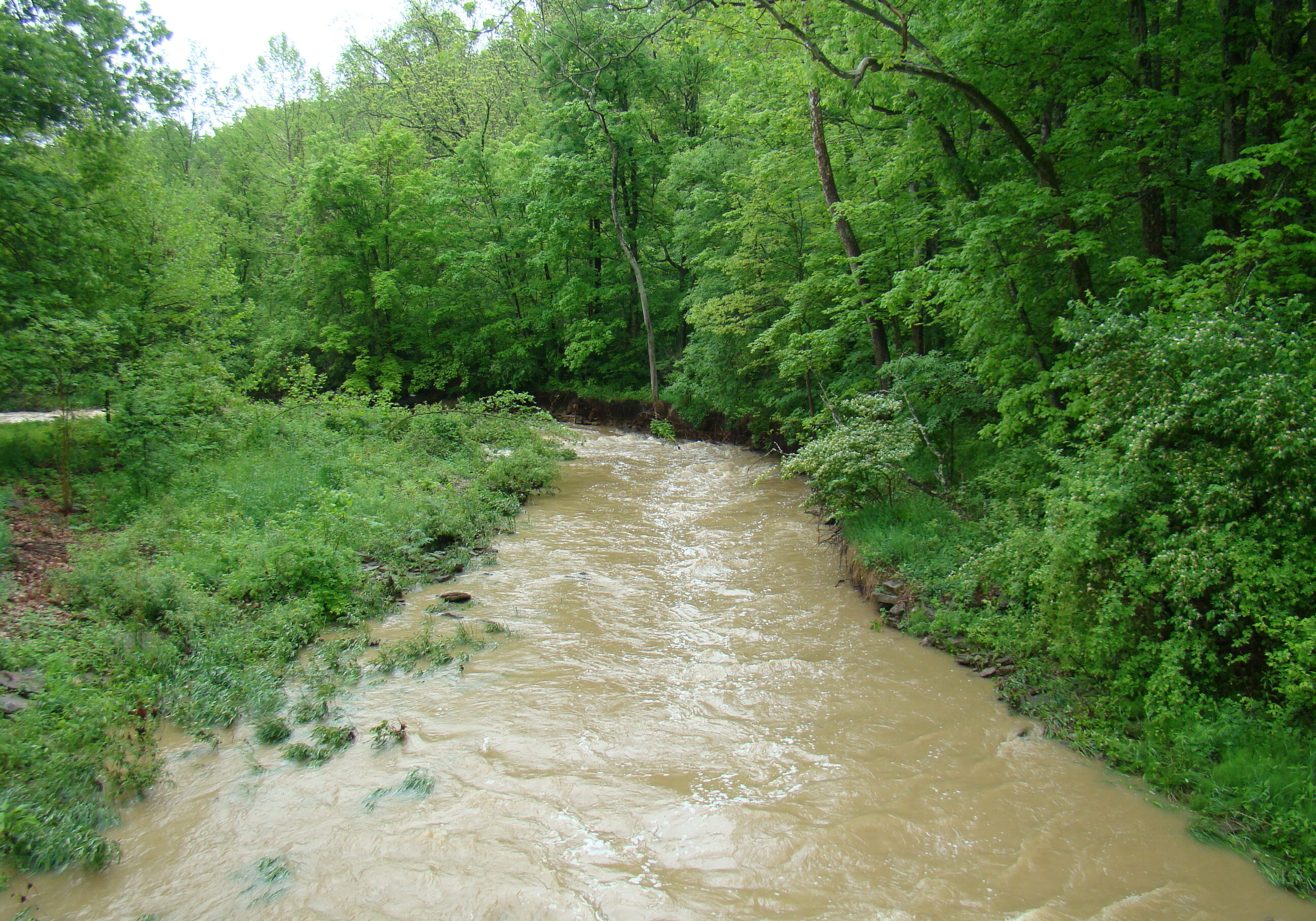
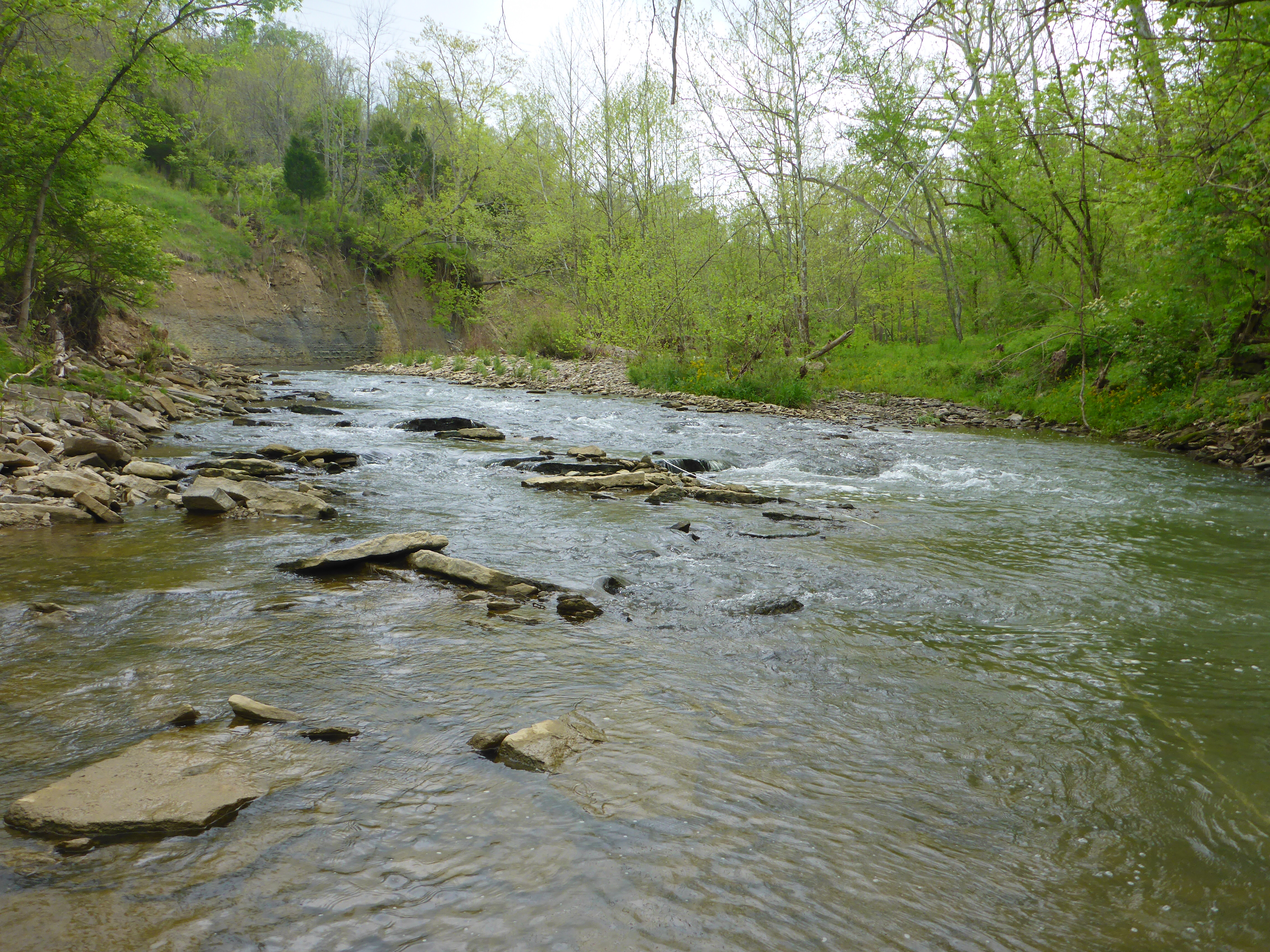
Allen Fork Creek
(more developed)
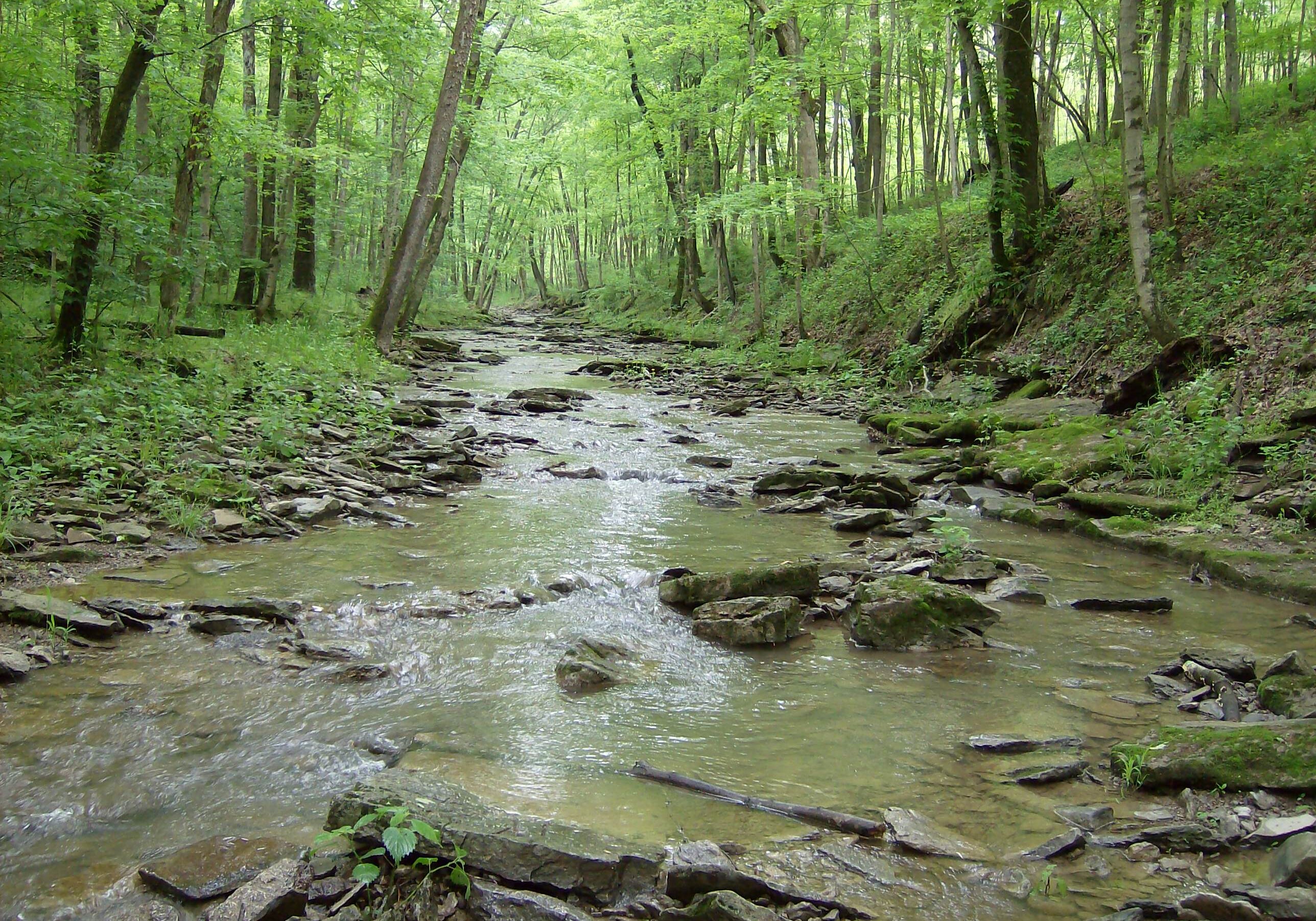
Double Lick Creek
(less developed)
Successes
*Terms:
Headwaters: upstream, or higher, portions of a creek or stream that feed the main channel.
Impervious surface: a surface that allows no liquid to pass through. Examples include rooftops, concrete sidewalks, and roadways.
Riffle: a rocky or shallow part of a stream.
Macroinvertebrates: water bugs we can see with the naked eye.

