The largest drainage catchment in Boone County, our Gunpowder Creek Watershed drains 58.2 square miles into the Ohio River.
Background
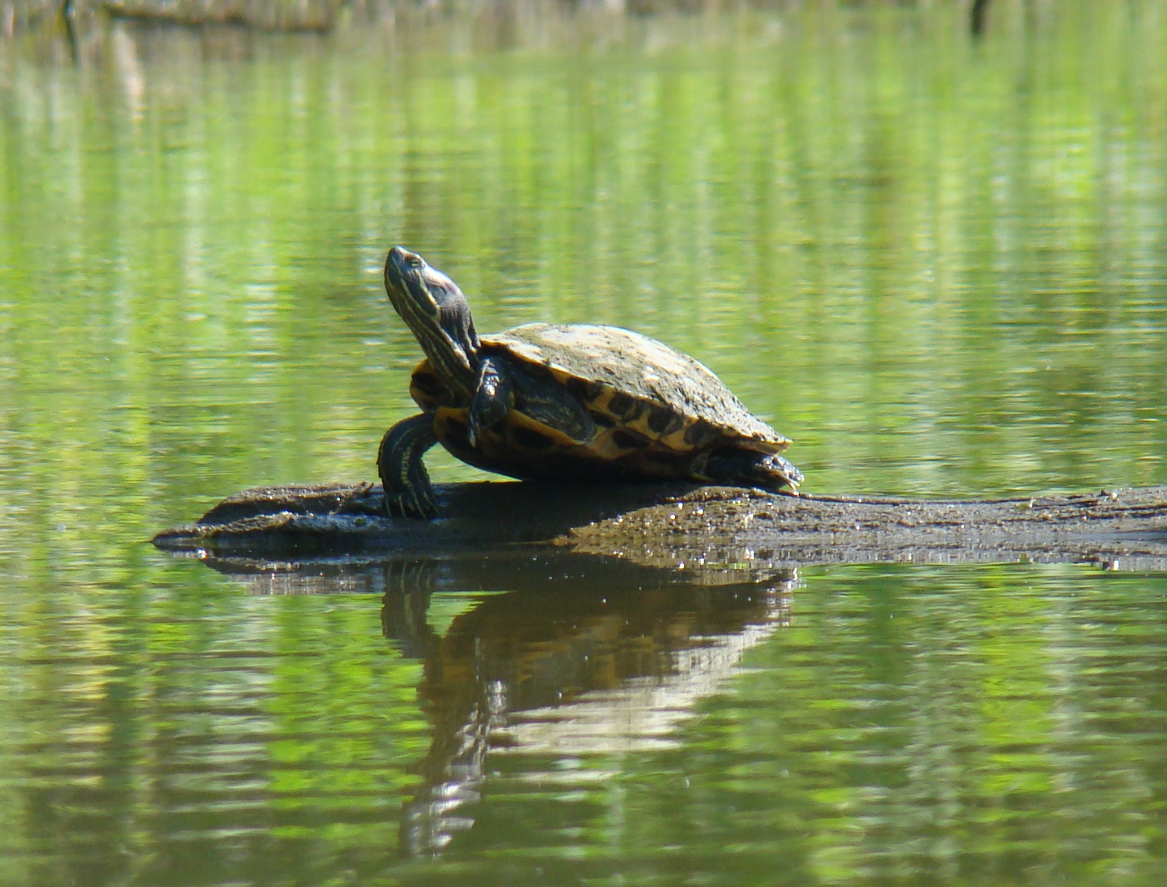
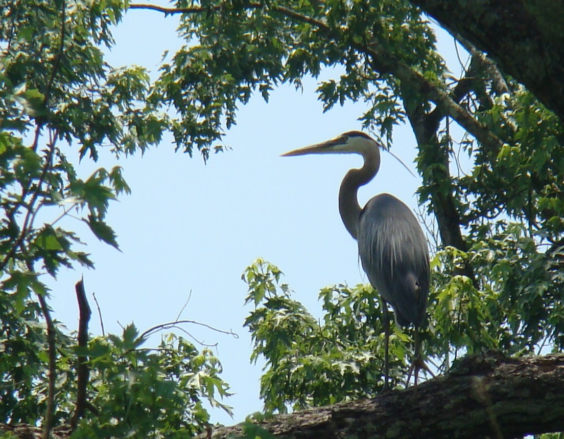
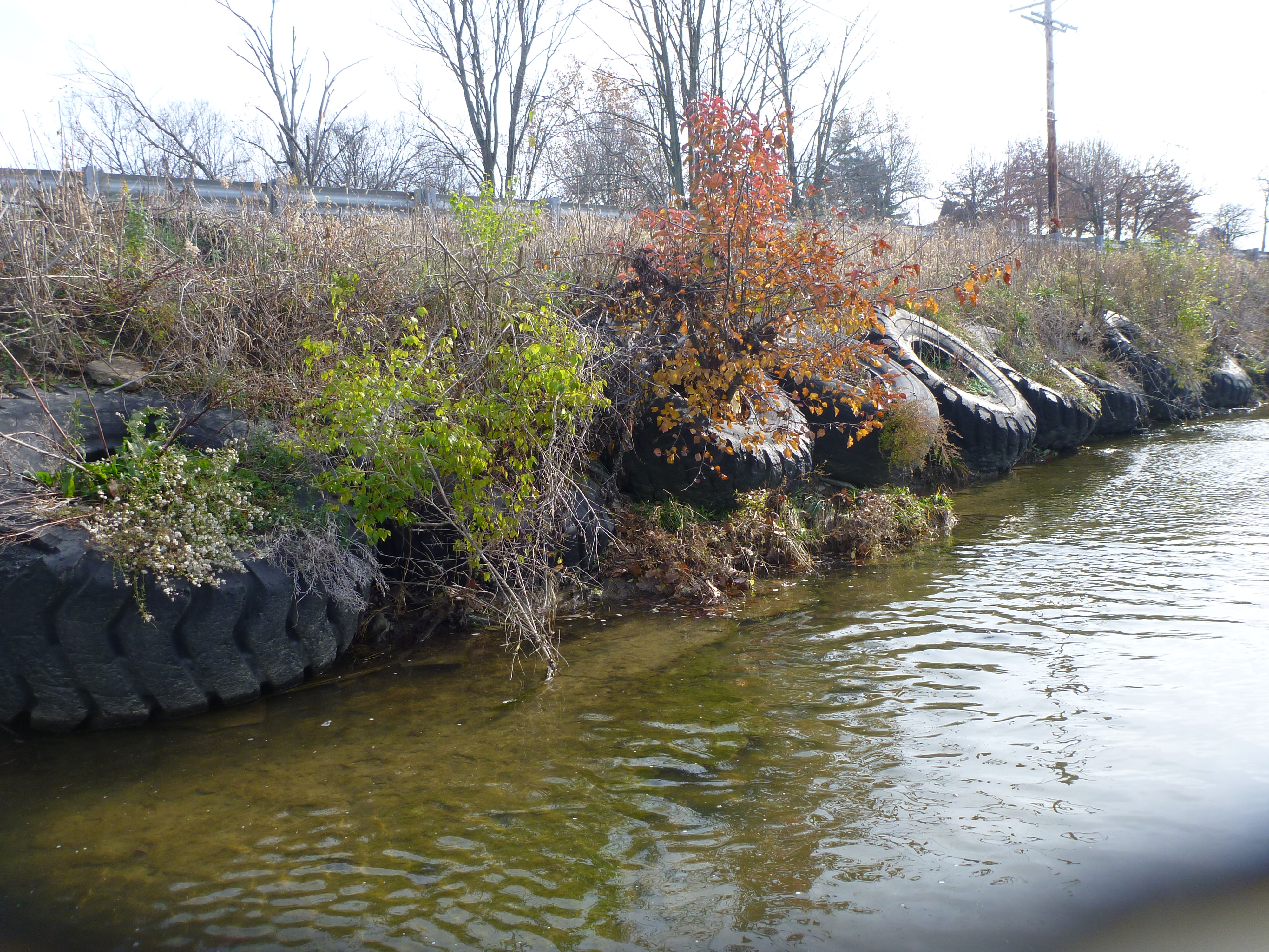
The Gunpowder Creek (GPC) Watershed holds around 143 miles of perennial line streams and is made up of five subwatersheds: Gunpowder Creek (Upper, Middle, Lower), South Fork Gunpowder Creek, Fowler Fork Creek, Long Branch Creek, and Riddles Run Creek. The land use within the GPC Watershed ranges from urban/industrial in the headwaters to suburban/agricultural in the middle to rural downstream. You can find part of the Greater Cincinnati/Northern Kentucky International Airport (CVG), the city of Florence, and the city of Union all within the GPC Watershed. As of 2014, Gunpowder Creek was listed on the Kentucky Division of Water's (KDOW) 303(d) List for Impaired Waters. The impairments listed are mainly high levels of sediment, bacteria, and nutrients. High levels of sediment, or siltation, clouds up the water and blocks the sunlight coming through.

This can easily disrupt the process of photosynthesis and restrict the amount of oxygen in the water. Bacteria, like E. coli, elevated in streams can affect human health. High levels of nutrients may sound like a good thing, right? Wrong. Too much of one nutrient can put the whole system out of whack. Take nitrogen, for example, and increase the levels of agricultural pesticide going into a stream. Because specific plants and animals feed off of this nitrogen, it can cause an overstimulation of growth. An example of this is a harmful algal bloom (HAB). For GPC Watershed, the impairments are mainly suspected to be from inadequate management of stormwater runoff.
The goal here is much like the goal of the Woolper Creek Watershed Initiative: to understand the severity of the GPC Watershed in order to improve upon it.
A Clean Water Act Section 319(h) grant was received to help BCCDKY form the Gunpowder Creek Watershed Initiative (GCWI) to better focus on improving and protecting the GPC Watershed.
Why does this matter?
Over the last 65+ years, the population in Boone County has increased tremendously. Boone County has the second highest population growth rank in all of Kentucky, according to the 2009 Census. In 2016, we had an estimate of 128,536 people living in Boone County. Within the GPC Watershed, residential use occupies about 30% (with 20% being dense development) of land, while around 53% of it remains undeveloped (recreational and agricultural). South Fork Creek Subwatershed is by far the most urban, with over 1,700-acres of industrial/commercial areas and over half of all suburban density in the GPC Watershed.

Monitoring & Results
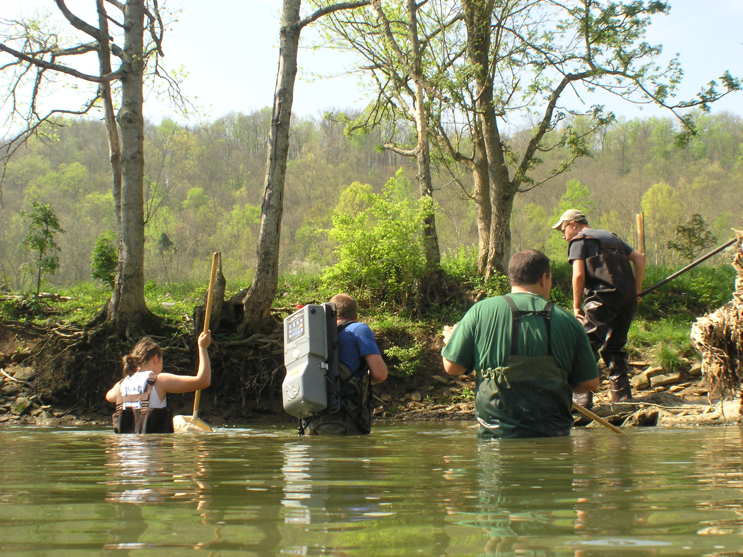
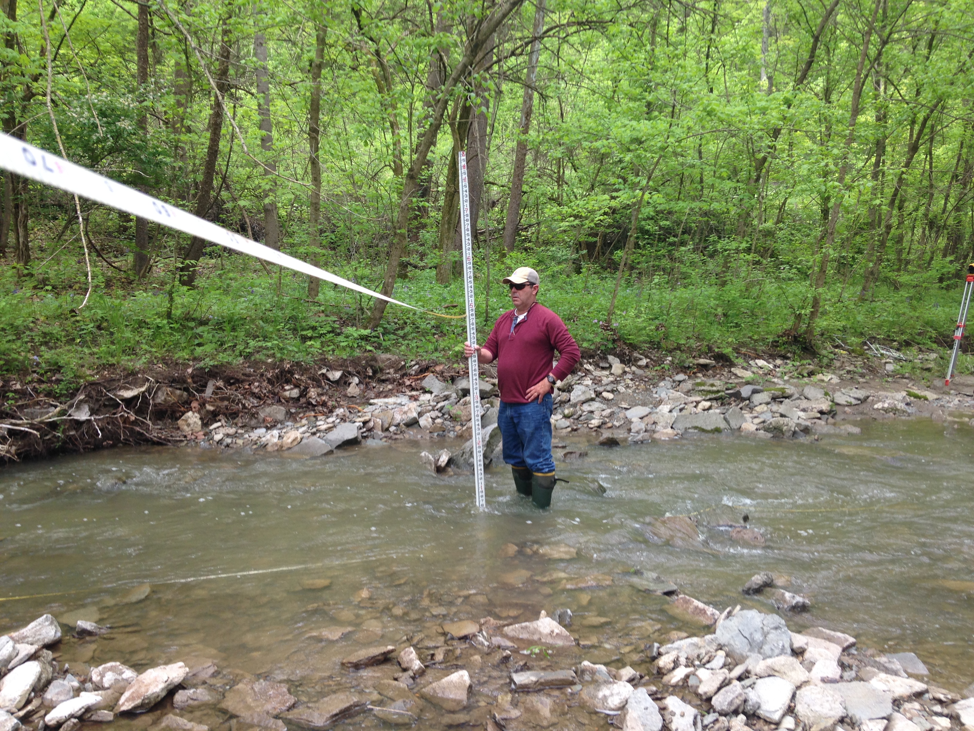
To gather a complete picture on the current conditions in GPC Watershed, the GCWI conducted a two-phased monitoring program: (1) 2011, an extremely wet year with record rainfall and (2) 2012. The monitoring components included:
- Stream flow monitoring: measures velocity, depth, and flow data from USGS gauges at Camp Ernst Road near Union.
- Geomorphic surveys: pebble count surveys of the distribution of rocks in streambeds and measurements of stream geometry (hydromodifications) designed to measure the rates of erosion.
- Habitat assessments: evaluations of stream habitat elements, such as the frequency of fast-flowing riffle* habitats, amount of sediment, and the quality of riparian vegetation adjacent to the streambank.
- Water quality samples: field and laboratory measurements for parameters, such as: bacteria, nutrients, pH, temperature, and sediment.
- Biological assessments: sampling of fish and aquatic macroinvertebrates* to quantify the diversity of the biologic community.
Stream flow monitoring results were compared between three sites: mostly-developed, partly-developed, and undeveloped. In any given rain events, the flows and depth of water were the highest in the most-developed area. In addition, the flows were more "flashy" in the same area. These flashy, large flows can cause increased erosion, water quality impairments, degraded habitat conditions, and increased flooding potential.
Geomorphic survey results were consistent with a separate study of over 40 Northern Kentucky streams. This showed that stream channel enlargement, widening, and deepening are linked to watershed development. The following three case studies highlight the unstable nature of stream systems throughout the most-developed portions of the GPC Watershed:
South Fork Gunpowder Creek (SFG 5.3-DS):
This area identified loss of trees, bedrock incision, and compromised storm sewer infrastructure. This site also displayed the channel slope becoming flatter, bedrock fracturing and mobilizing, and pushing a storm sewer from its headwall due to erosive flows. The pictures below are the exact same spot:

2008

2012
South Fork Gunpowder Creek (SFG 5.3-UNT 0.1):
This site documented bank failure. The picture to the right shows a continuous crack alongside the bank that will collapse and widen the stream. A good riparian buffer with thick vegetation can help stabilize stream banks with deeper roots and eliminate this problem.

Gunpowder Creek (GPC 17.1-UNT 0.1):
The hydromodification conditions here are visible in the pictures below, a time lapse of only three years. The generated flows over time continue to damage the tree and move large woody debris, like the log from 2012.

Habitat assessment results proves that the physical stability of a stream (its geomorphology) strongly influences the habitat conditions. Habitat impacts range from exposed bedrock, scouring longer and deeper pools, and creating shorter riffle habitats. Riffle habitats are extremely important habitat areas for aquatic insects and fish.
Water quality sample results compared the pollutant levels to "benchmark" values provided by he Kentucky Division of Water (KDOW). At all six water quality monitoring sites, sediment or total suspended solids (TSS) and bacteria as E. coli have the highest ratio of loads when compared to KDOW's benchmark levels. Moreover, TSS and E. coli seem to be the most concerning in the most-developed areas. For example, South Fork Gunpowder Creek's TSS loads are as much as 30 times higher than the benchmark, while the headwaters of GPC are up to 60 times higher. Furthermore, stream bank erosion was found to be a dominant source of sediment in the developed portions of the watershed.

One of the most noticeable benefits of development was evident from the fact that E. coli loads were low in dry weather in developed areas. This shows that sanitary sewers are doing a good job of keeping human waste out of streams. However, in wet weather, E. coli levels are through the roof, possibly due to pet waste and other bacteria from stormwater runoff. The opposite was true for rural areas, as E. coli was mainly present during dry weather monitoring due to septic systems and/or livestock wading in the streams.
Biological assessment results were consistent with the other results: development lowers the biological integrity of GPC. For example, the site with the greatest percentage of impervious surface* (SFG 5.3-UNT 0.1) had the lowest scores when evaluating two different indices of biologic health.
Potential Sources of Pollutants

UPDATE
Implementation plan to address Primary Contact Recreation (PCR) impairments to Gunpowder Creek Watershed. Click here to learn more!
*TERMS:
Riffle: a rocky or shallow part of a stream.
Macroinvertebrates: water bugs we can see with the naked eye.
Impervious surface: a surface that allows no liquid to pass through. Examples include rooftops, concrete sidewalks, and roadways.


